• Home
  • Search
  • Browse Collections
  • My Account
  • About
  • DC Network Digital Commons Network™
Skip to main content
  • Home
  • About
  • FAQ
  • My Account
Scholars' Mine Missouri University of Science and Technology

Home > Library > Special Collections > Missouriana > Missouri Maps

Historical Maps of Missouri


400 W. 14th Street, Rolla, MO 65409-0060 ♦ (573) 341-4008 ♦ scholarsmine@mst.edu

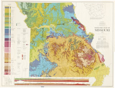
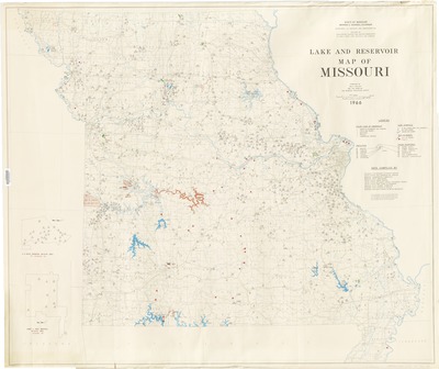
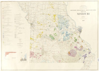
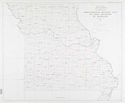
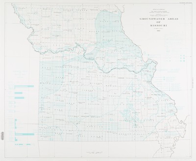
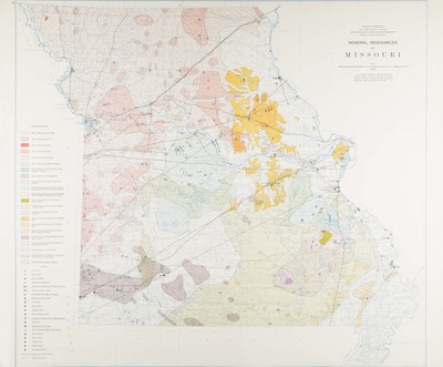
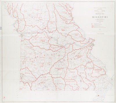
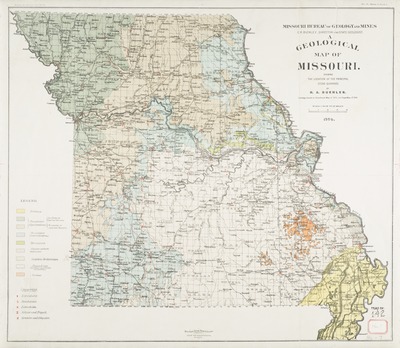
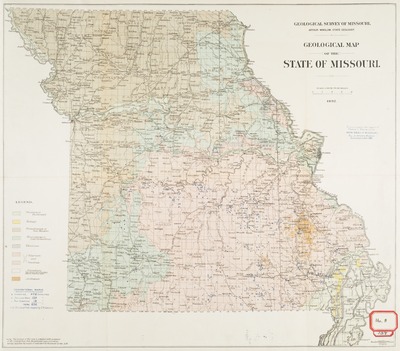
These historical maps feature different geographical and other aspects of Missouri, such as mineral resources, groundwater, and drainage.
Printing is not supported at the primary Gallery Thumbnail page. Please first navigate to a specific Image before printing.

Follow

Switch View to List View Slideshow
 
  • Geologic Map of Missouri by Kenneth H. Anderson, Jerry D. Vineyard, Gary P. Clark, and Mary H. McCracken

    Geologic Map of Missouri

  • Relief Map of Missouri, 1974 by Larry N. Stout

    Relief Map of Missouri, 1974

  • Physical Relief by East-West Gateway Coordinating Council.

    Physical Relief

  • Lake and Reservoir Map of Missouri by Dale L. Fuller and Missouri. Division of Geological Survey and Water Resources.

    Lake and Reservoir Map of Missouri

  • Mineral Resources and Industry Map of Missouri by Eva B. Disvarsanyi and Walter V. Searight

    Mineral Resources and Industry Map of Missouri

  • Groundwater Quality Map of Deep Aquifers in Missouri by Dale L. Fuller

    Groundwater Quality Map of Deep Aquifers in Missouri

  • Groundwater Areas of Missouri by Robert D. Knight

    Groundwater Areas of Missouri

  • Water Well Yield Map of Missouri by Charles E. Robertson

    Water Well Yield Map of Missouri

  • Geologic Map of Missouri by Missouri. Division of Geological Survey and Water Resources and Mary H. McCracken

    Geologic Map of Missouri

  • Magnetic Map of Missouri: Showing Anomalies of Vertical Intensity

    Magnetic Map of Missouri: Showing Anomalies of Vertical Intensity

  • Mineral Resources of Missouri

    Mineral Resources of Missouri

  • Drainage Map of Missouri

    Drainage Map of Missouri

  • Foster's New Map of St. Louis and Suburbs by H. W. Gross

    Foster's New Map of St. Louis and Suburbs

  • A Geological Map of Missouri Showing the Location of the Principal Stone Quarries by Henry Adams Buehler

    A Geological Map of Missouri Showing the Location of the Principal Stone Quarries

  • Geological Map of the State of Missouri, 1892: To Accompany the Report of Frank L. Nason on the Iron Ores of Missouri, Vol. II Reports Missouri Geological Survey, 1892 by Missouri. Geological Survey.

    Geological Map of the State of Missouri, 1892: To Accompany the Report of Frank L. Nason on the Iron Ores of Missouri, Vol. II Reports Missouri Geological Survey, 1892


Search

Advanced Search

  • Notify me via email or RSS

Browse

  • Collections
  • Disciplines
  • All Authors
  • Faculty Authors

Author Corner

  • Author FAQ

Useful Links

  • Library Resources
  • Contact Us
S&T logo

Gallery Locations

  • View gallery on map
  • View gallery in Google Earth
 
Digital Commons

Home | About | FAQ | My Account | Accessibility Statement

Privacy Copyright