

Historical Maps of Missouri
Preview
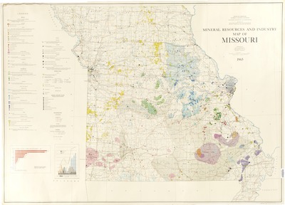
Description
Scale 1:500,000
compiled by Eva B. Disvarsanyi ; coal deposit data by Walter V. Searight.
Geographic area
Missouri
Dimensions
103 x 144 cm.
Date published
1965
Publisher
State of Missouri, Dept. of Business and Administration, Division of Geological Survey and Water Resources
Place of publication
Rolla, Missouri
Subject Headings
Mines and mineral resources -- Missouri -- Maps
Document Type
Still image - Map
File Type
stillimage
Language
English
Print OCLC #
5234361
Date digitized
1-3-2014
Rights
© 1965 State of Missouri, Dept. of Business and Administration, Division of Geological Survey and Water Resources, All rights reserved.
