

Historical Maps of Missouri
Preview
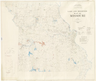
Description
Compiled by Dale L. Fuller and the staff of the Missouri Geological Survey ; data compiled by University of Missouri Extension Service [and others]
Includes information on ownership, size, recreational use, and primary purpose.
Insets: A.A. Busch Memorial Wildlife Area, St. Charles Co. & James A. Reed Memorial Wildlife Area, Jackson Co.
Geographic area
Missouri
Dimensions
101 x 121 cm.
Date published
1966
Publisher
State of Missouri, Department of Business and Administration, Division of Geological Survey and Water Resources
Place of publication
Rolla, Missouri
Subject Headings
Lakes -- Missouri -- Maps
Reservoirs -- Missouri -- Maps
Document Type
Still image - Map
File Type
stillimage
Language
English
Print OCLC #
23746825
Date digitized
1-3-2014
Rights
© 1966 State of Missouri, Department of Business and Administration, Division of Geological Survey and Water Resources, All rights reserved.
