

Historical Maps of Missouri
Preview
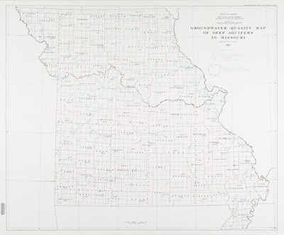
Description
Issued with 2 other maps: "Groundwater areas of Missouri" and "Water well yield map of Missouri"
Geographic area
Missouri
Dimensions
67 x 81 cm.
Date published
1962
Publisher
Missouri Division of Geological Survey and Water Resources
Place of publication
Rolla, Missouri
Subject Headings
Groundwater -- Missouri -- Maps
Water quality -- Missouri -- Maps
Document Type
Still image - Map
File Type
stillimage
Language
English
Print OCLC #
21756312
Date digitized
June 2015
Rights
© 1962 Missouri Division of Geological Survey and Water Resources, All rights reserved.
