

Historical Maps of Missouri
Preview
Type of map
Geological Maps
Description
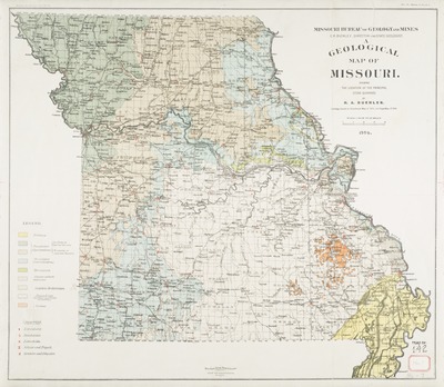
To accompany: The quarrying industry of Missouri / by E.R. Buckley and H.A. Buehler. 1904; Shows colors of the quarries.
Geographic area
Missouri
Dimensions
46 x 52 cm.
Date published
1904
Publisher
Missouri. Bureau of Geology and Mines
Place of publication
Jefferson City, Missouri
Subject Headings
Geology -- Missouri -- Maps
Quarries and quarrying -- Missouri -- Maps
Document Type
Still image - Map
File Type
stillimage
Language
English
Print OCLC #
123905396
Rights
© 1904 Missouri. Bureau of Geology and Mines, All rights reserved.
